North to south
Scroll to travel through Jordan.
The map follows you from the green hills above the Yarmouk valley, through Amman and the desert, down to the Red Sea at Aqaba. Nineteen stops on the way.
Jordan sits where Asia, Africa and Europe meet, with land borders on four sides and one port on the Red Sea. Scroll down to travel through it from north to south, then find its ports, airports and the facts worth knowing.
The map follows you from the green hills above the Yarmouk valley, through Amman and the desert, down to the Red Sea at Aqaba. Nineteen stops on the way.
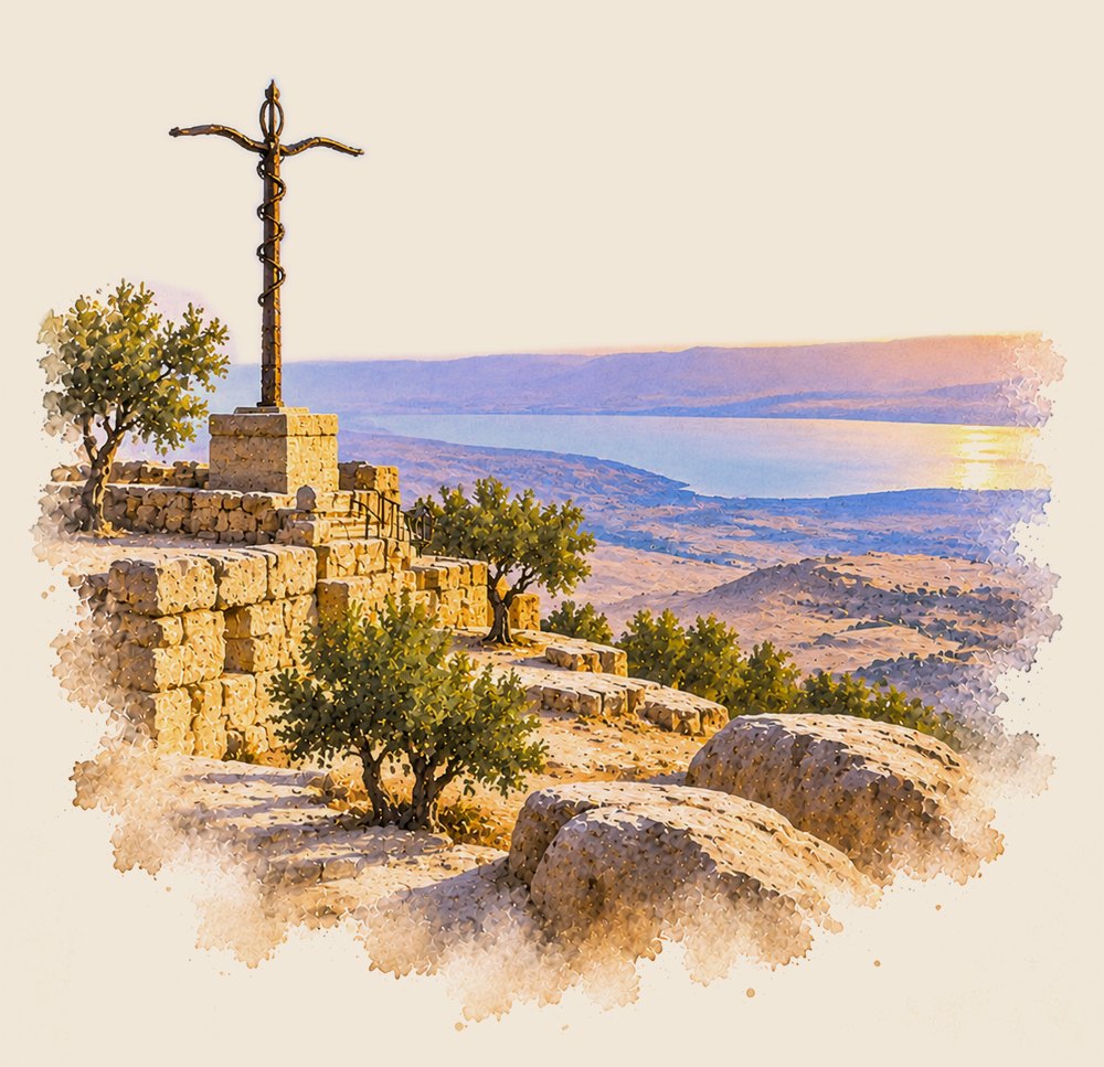
Ancient Gadara, on a hilltop overlooking the Sea of Galilee and the Yarmouk valley.
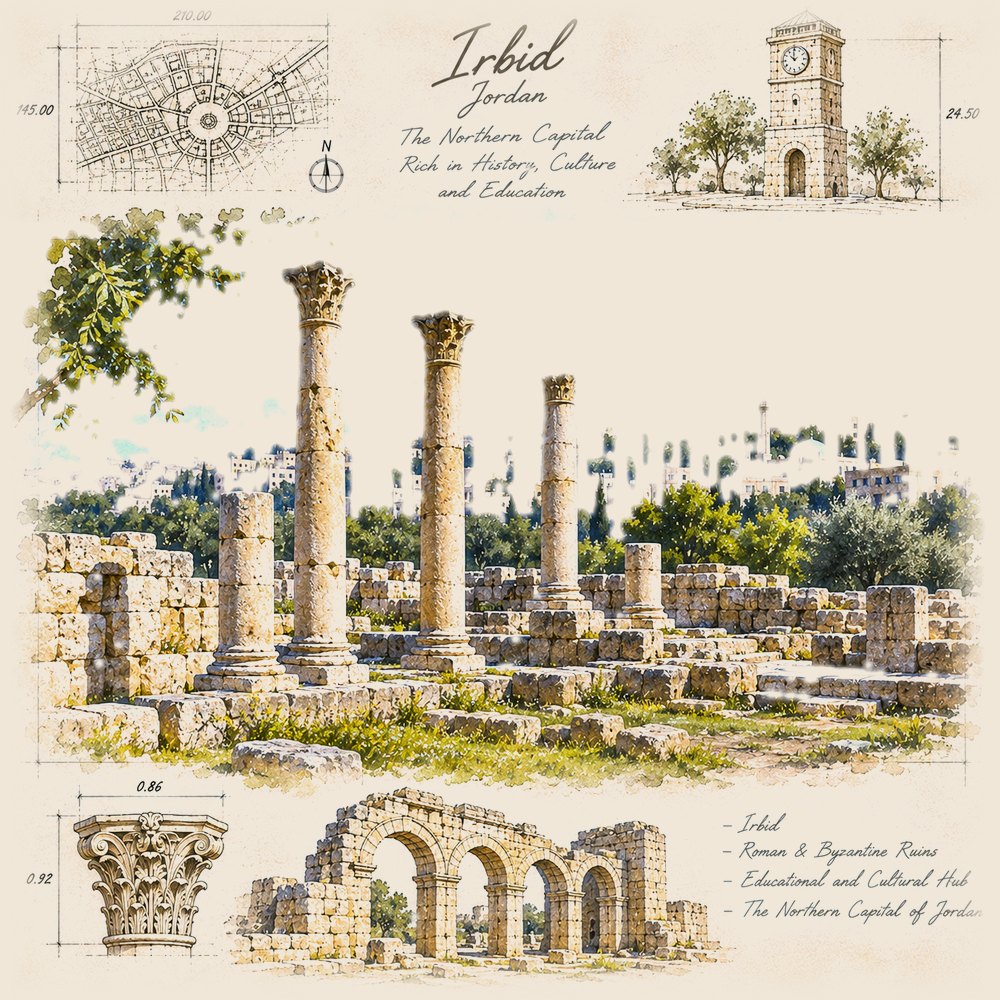
The main city of the north: a university town at the centre of the northern farmland.
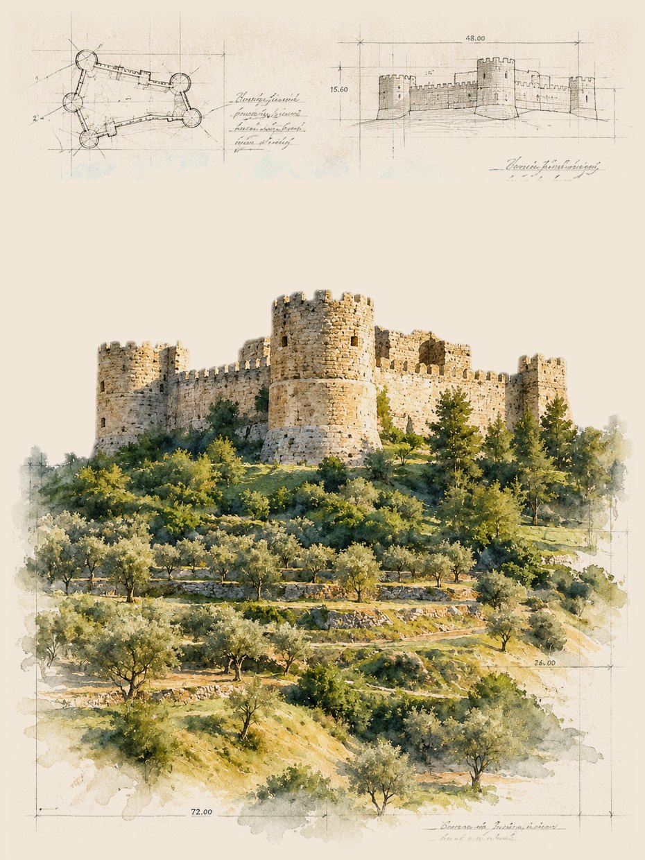
A 12th-century hilltop castle built under Saladin to guard the northern hills.
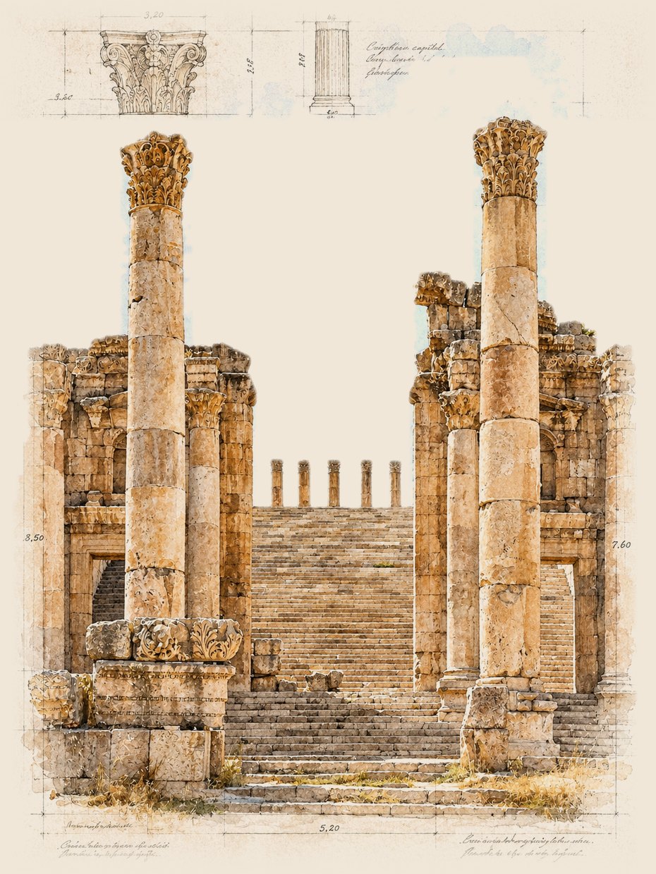
Ancient Gerasa: Hadrian's Arch, an oval plaza, a colonnaded street and two theatres.
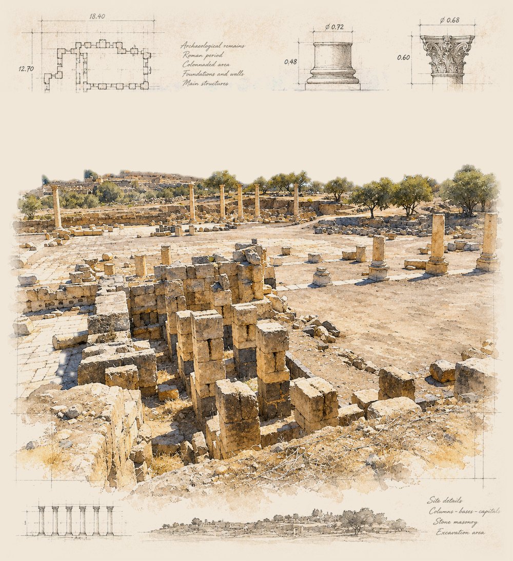
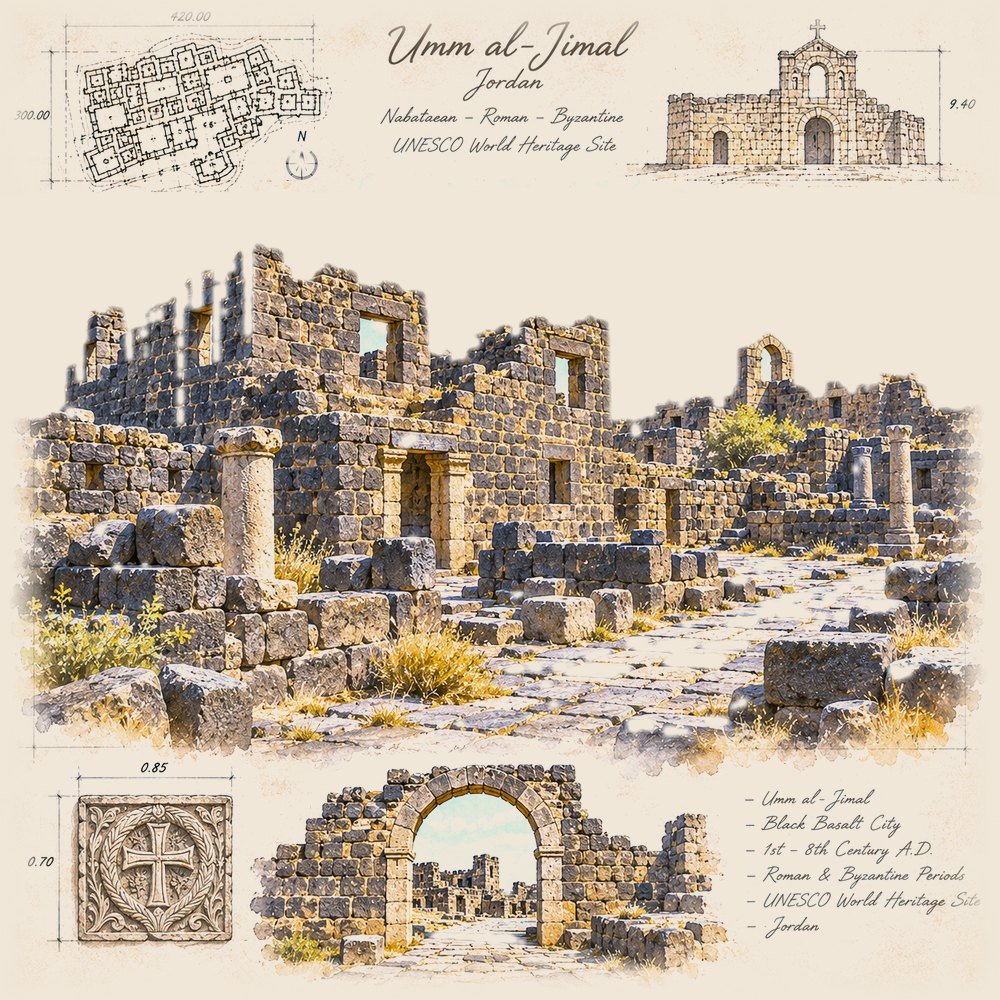
A town built of black basalt in the northern desert, from the Roman to the early Islamic period.
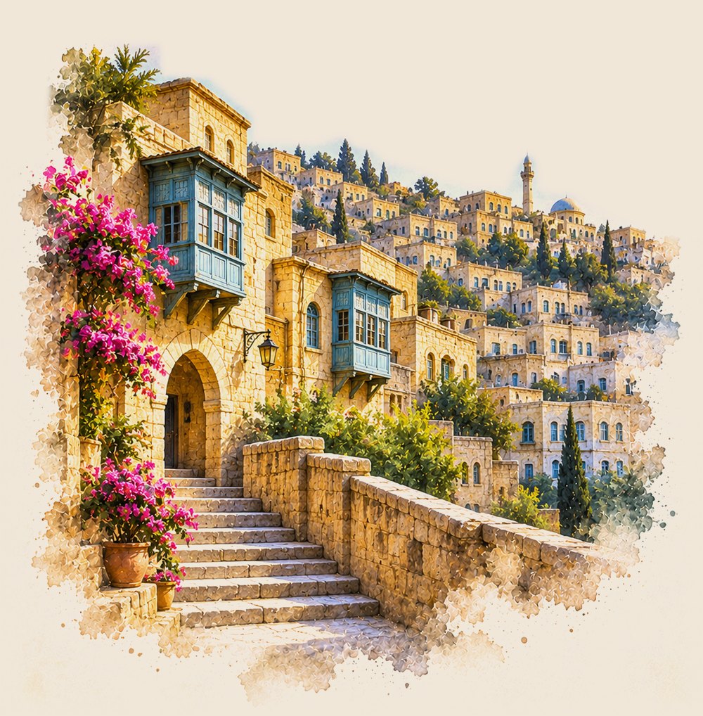
A merchant town of yellow limestone houses, north-west of Amman.
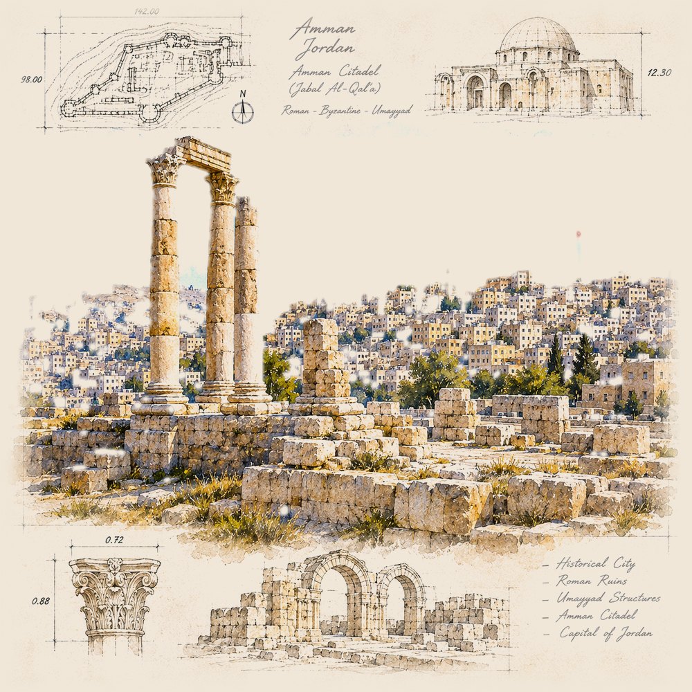
Jordan's capital, built across hills. The Citadel and a Roman theatre sit at its centre, and Minaline's head office is here.
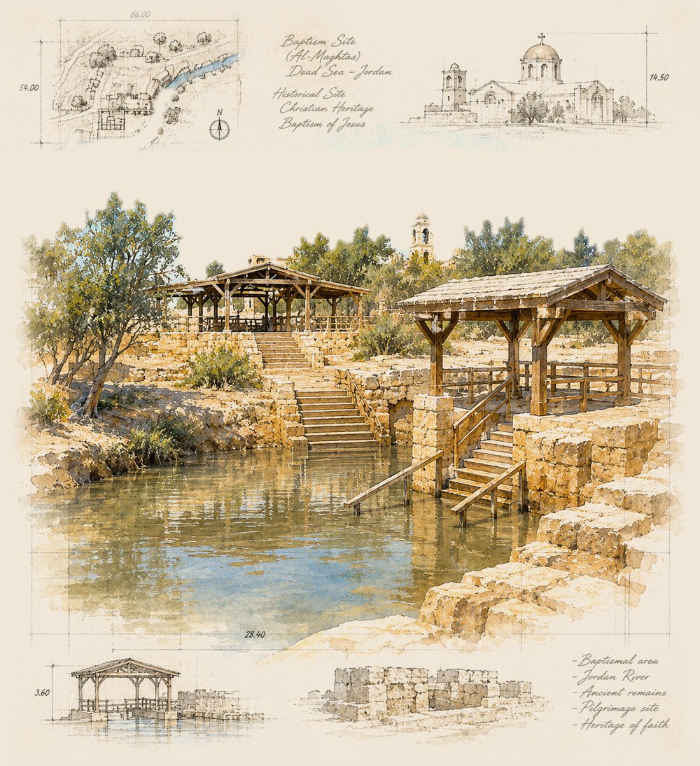
Al-Maghtas, "Bethany Beyond the Jordan", on the east bank of the Jordan River.
An early 8th-century desert castle and bath house, known for its wall paintings.
Madaba holds a 6th-century mosaic map of the Holy Land. Mount Nebo, nearby, looks over the Jordan Valley.
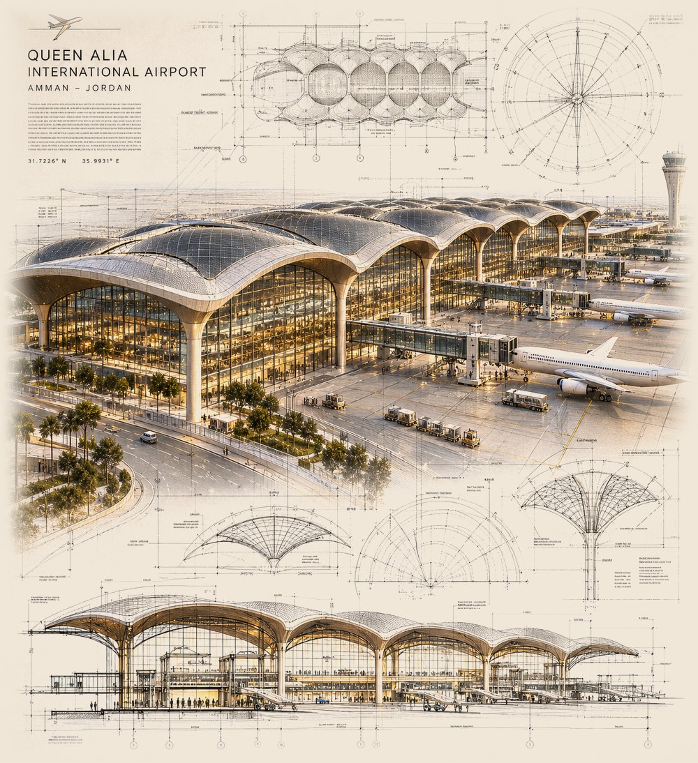
Queen Alia International Airport, about 30 km south of Amman. The main airport for passengers and air cargo.
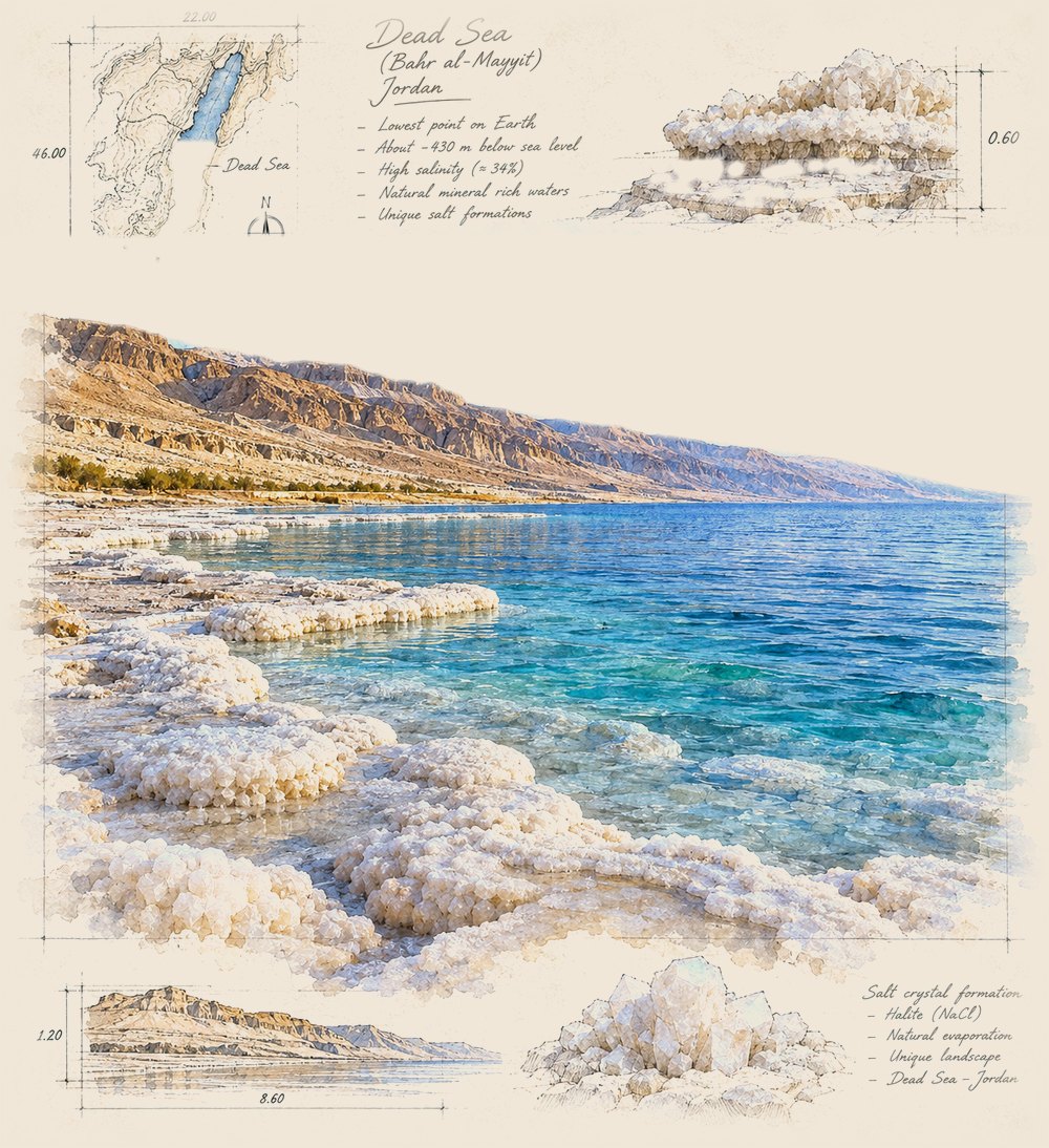
The lowest point on land, more than 400 metres below sea level, and far saltier than the ocean.
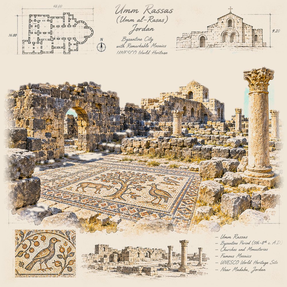
Ruins with large church floor mosaics, including the Church of St Stephen.
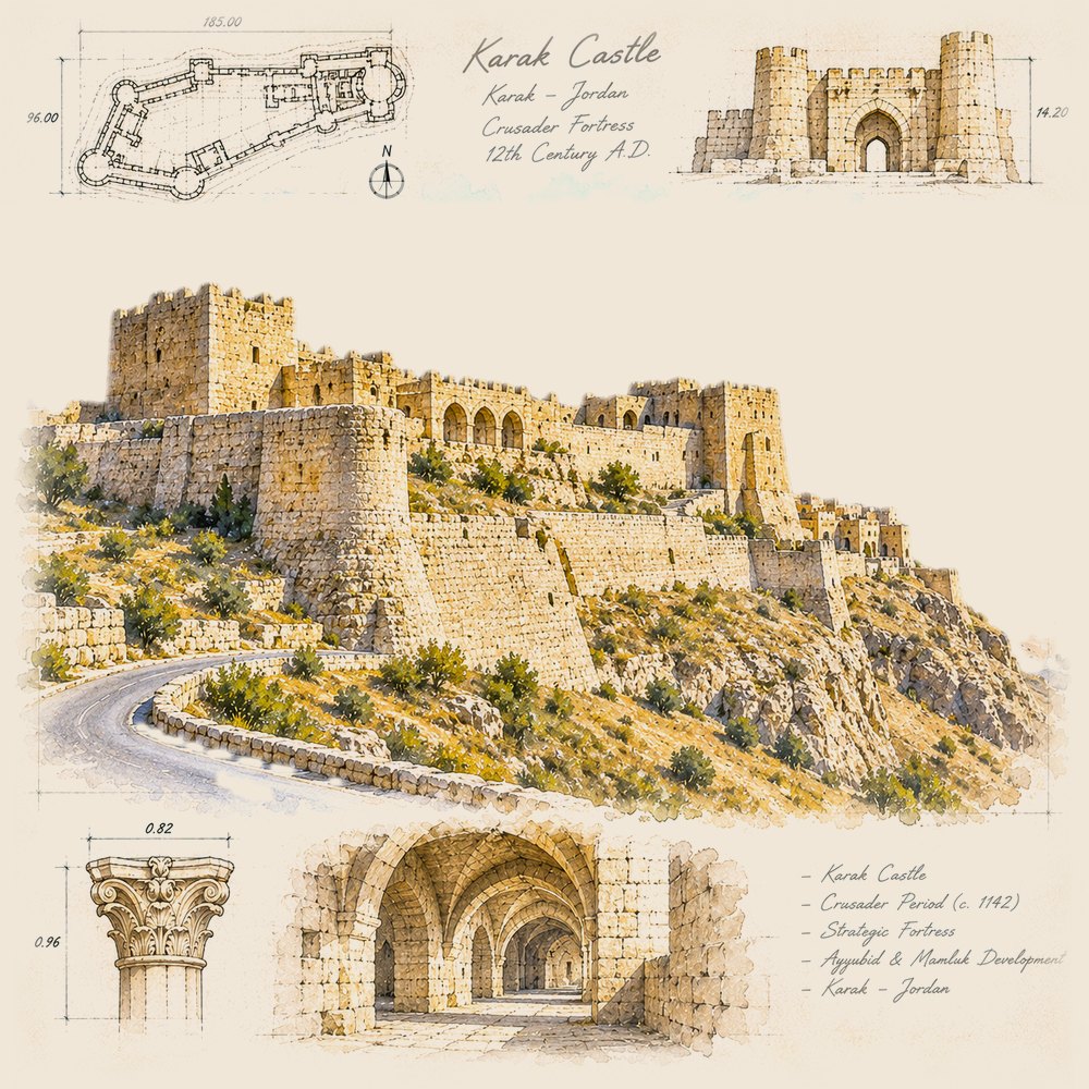
One of the largest castles in the region, built in the 1140s on the King's Highway.
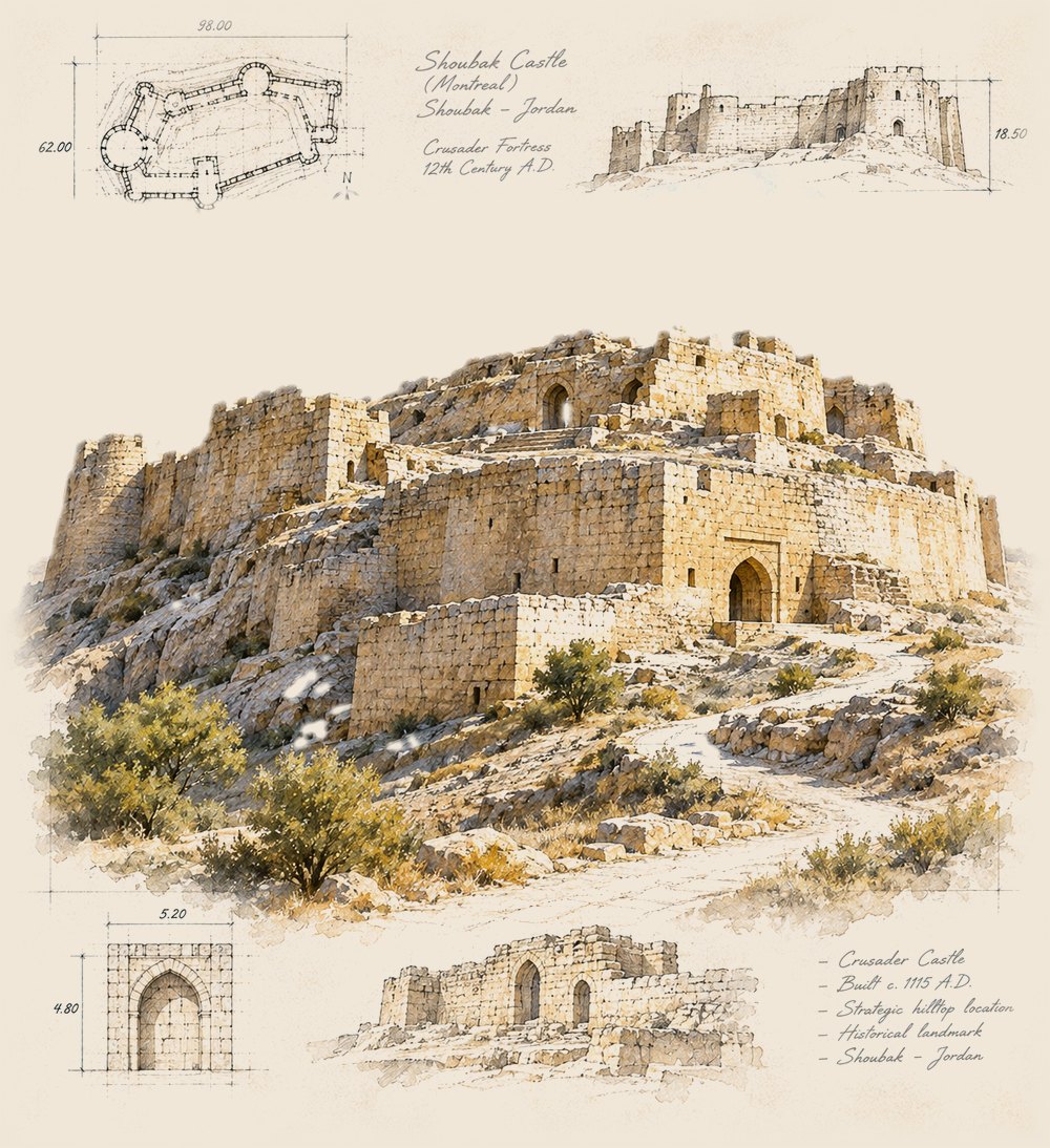
A hilltop castle founded in 1115, also known as Montreal.
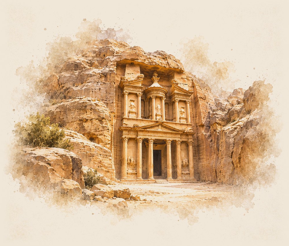
Capital of the Nabataeans, carved into sandstone cliffs and entered through a narrow gorge, the Siq.
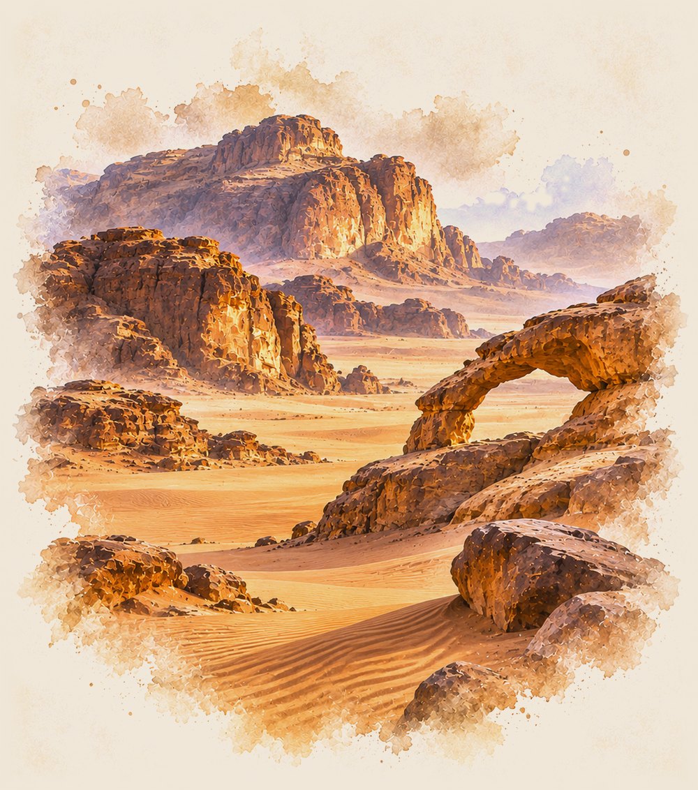
A protected desert of sandstone and granite mountains, with rock carvings and inscriptions thousands of years old.
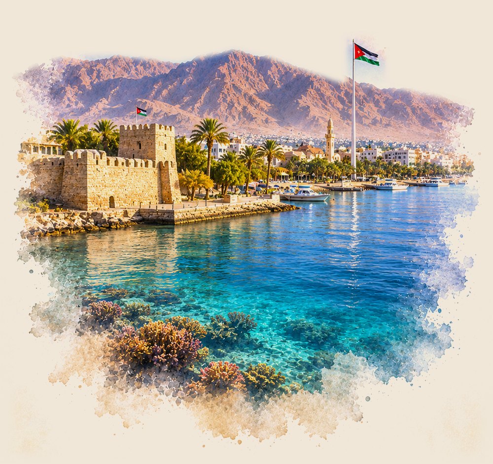
Jordan's only coastal city, on the Gulf of Aqaba: a Mamluk fort by the shore, palm-lined beaches and coral reefs just offshore.
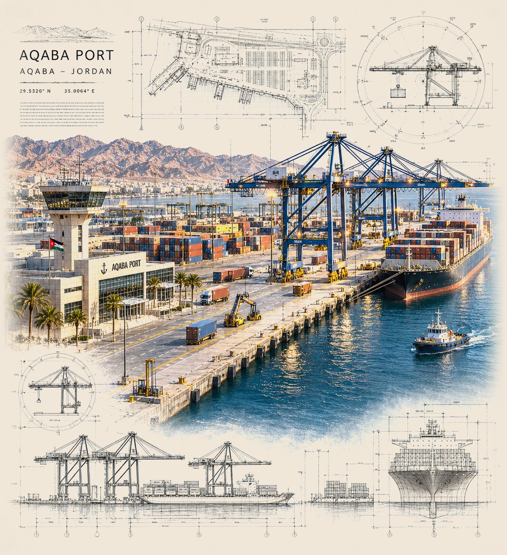
The journey ends where most of Jordan's cargo begins. This is the country's only sea port: containers, general cargo and bulk all move through here, then travel north by road.
Jordan's only sea port, at the northern tip of the Red Sea. The Aqaba Container Terminal handles containers; other terminals handle general cargo and bulk, and ferries cross to Egypt. Most imports continue north by road, about 330 km to Amman.
The main airport, about 30 km south of Amman, and the home base of Royal Jordanian. It handles most international passengers and air cargo.
The airport of Aqaba, serving the port city, the south and the Red Sea coast.
A smaller airport inside east Amman, used for regional, charter and private flights.
Jaber is the main crossing to Syria. Karameh is the crossing to Iraq, at the end of the highway to Baghdad.
Al-Omari, Mudawwara and Durra are the crossings to Saudi Arabia and the Gulf. To the west are the King Hussein Bridge, Sheikh Hussein and Wadi Araba crossings.
A constitutional monarchy. King Abdullah II has reigned since 1999.
Also the largest city and the centre of business.
Most people live in the north-west, around Amman, Zarqa and Irbid.
Mostly desert plateau, with highlands along the west.
All of it on the Gulf of Aqaba.
Jabal Umm ad Dami in the south, and the Dead Sea shore.
Celebrated each year as Independence Day.
English is widely used in business and trade.